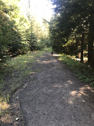
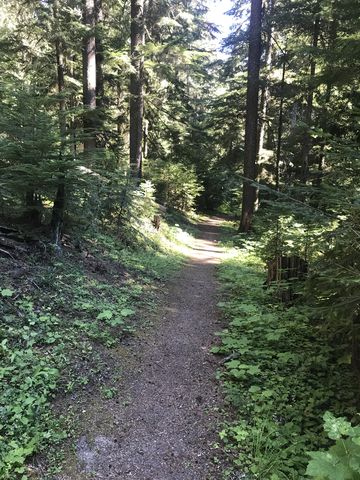
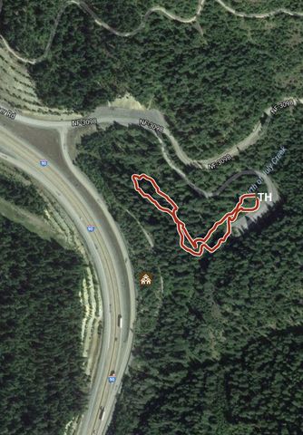
The Mullan Loop is an easy half-mile interpretive trail showcasing parts of the old Mullan wagon road, built in the 1860s to connect Fort Benton with Fort Walla Walla, and newer Highway 10, built in 1916.
| Location | Coeur d’Alene Mountains |
| Rating | 2.1 out of 5 |
| Difficulty | Easy |
| Distance | 0.4 miles |
| Duration | 0:12 hours moving time (hiking) |
| Elevation Gain | 54 feet |
| High Point | 3,167 feet |
| Low Point | 2,993 feet |
| Trail Type | Loop |
| Trailbed | Packed dirt, packed gravel |
| Water | None |
| Status | Unprotected |
| Administration | Coeur d’Alene National Foreast |
| Permits | None required |
| Conditions | Excellent |
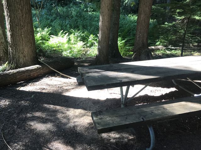
| Camping | There are pit toilets near the trailhead |
| Maps | USGS tba |
| Trailhead | Take I-90 exit 28, Fourth of July Pass and if coming from Coeur d’Alene take a left, cross the freeway, then head right. If coming from Rose Lake, take a right at the stop sign. Cross the large parking lot and bear right (downhill) to the second parking lot and trailhead. There is plenty of parking and an RV turnaround.
Google Directions (47.620041, -116.516806) |
| Season | Year-around |
| Squirrel Density | Fabulous! |
| Distance From |
|
| Resources | |
| Nearby Hikes | |
| Date | July 30, 2017 |
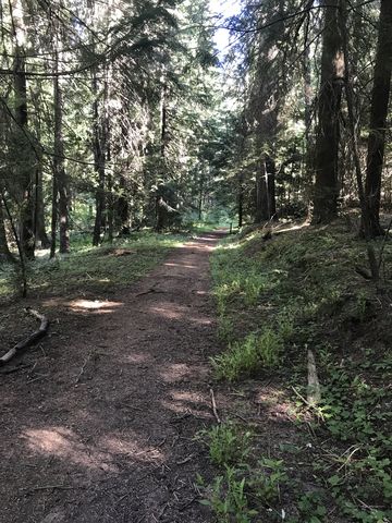
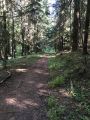 Admittedly, this isn’t much of a hike, or stroll for that matter, but the forest service did a great job showcasing some of the history along an otherwise busy freeway. The loop is literally minutes off the freeway ramp and lets you walk on remnants of the original 1860 Mullan Trail and the first “real” road built in 1916.
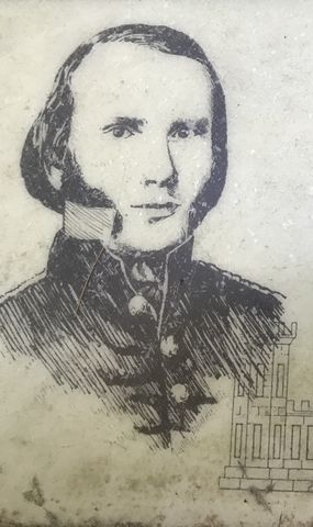
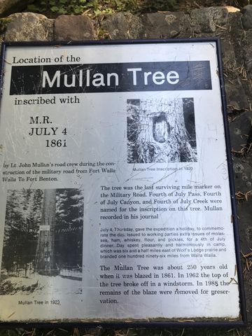
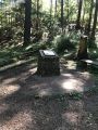 Next time you cross the Fourth of July Pass, take a few minutes and check out the trail. There are four interpretive signs along the path and a small monument where once stood the tree into which Captain Mullan carved JULY 4 1861, naming the pass, the creek, and the canyon.
Enjoy this hike? Let us know in the comments below!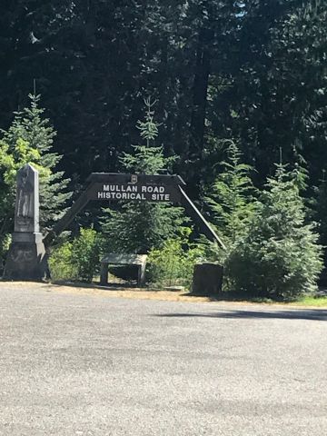


© 2016 – 2017 NaughtyHiker. All rights reserved. No duplication without permission.

I pulled off there once during a storm but didn’t take a walk around. Next time!
LikeLiked by 1 person
It’s well hidden…. And who knew, there was once a tunnel under the pass! Built in 1932 and filled in in 1990
LikeLiked by 1 person